Why is protection of riparian forests necessary?
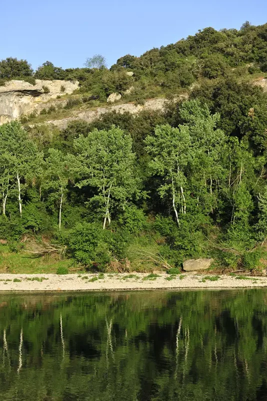
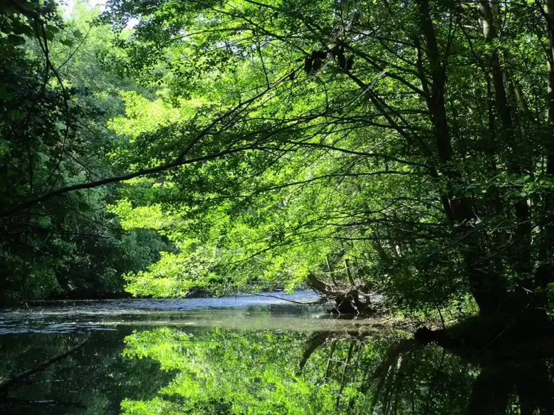
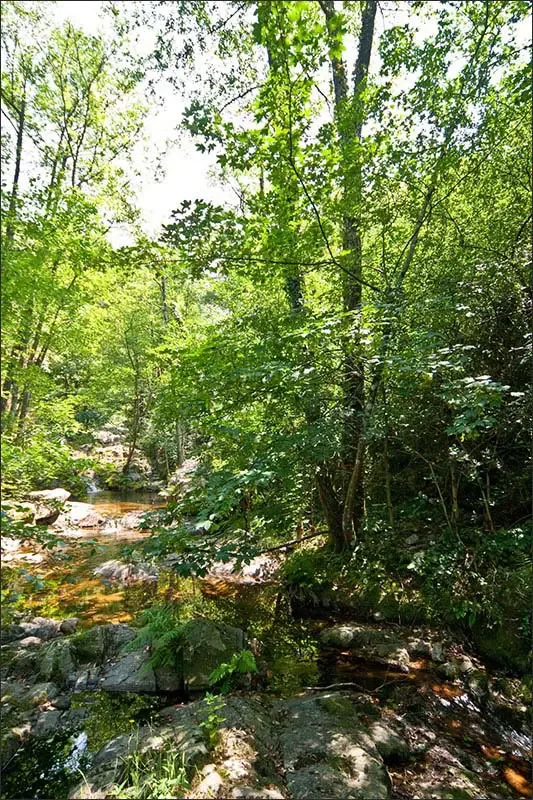
Riparian forests are woodland that may be found on the banks of a waterway.
Riparian forests are woodland that may be found on the banks of a waterway.
While riparian forest only form 1.6% of the Languedoc territory, compared to 51% for forests in general, they withstand a lot of pressure, including from forest exploitation.
A comparative analysis of satellite takes carried out within the Gardon River’s SAGE (Water Development and Management Scheme) confirmed a 10-ha-loss of riparian forest along the Gardon river between 2012 and 2016.
Clear-cutting for either the fuelwood production or papermaking is harmful for these already rare habitats, all the more so because their regeneration capacity is affected by the falling groundwater levels and earlier and dryer summers.
These forest aisles equally lead to a loss of functionality of the riparian forests, which form ecological corridors and hunting areas for many species, including chiropterans or even birds of prey.
Considering the rarity of these Mediterranean riparian forests and the practices they suffer from, it is therefore necessary to establish a protection tool which shall allow the conservation and regeneration of these key habitats.
Step 01 - Spring to Summer 2022
Step 02 - From Summer 2022 to Spring 2023
Step 03 - 2023
Step 04 - 2024
Step 05 - 2025